Compas: wildfire reports from orbit
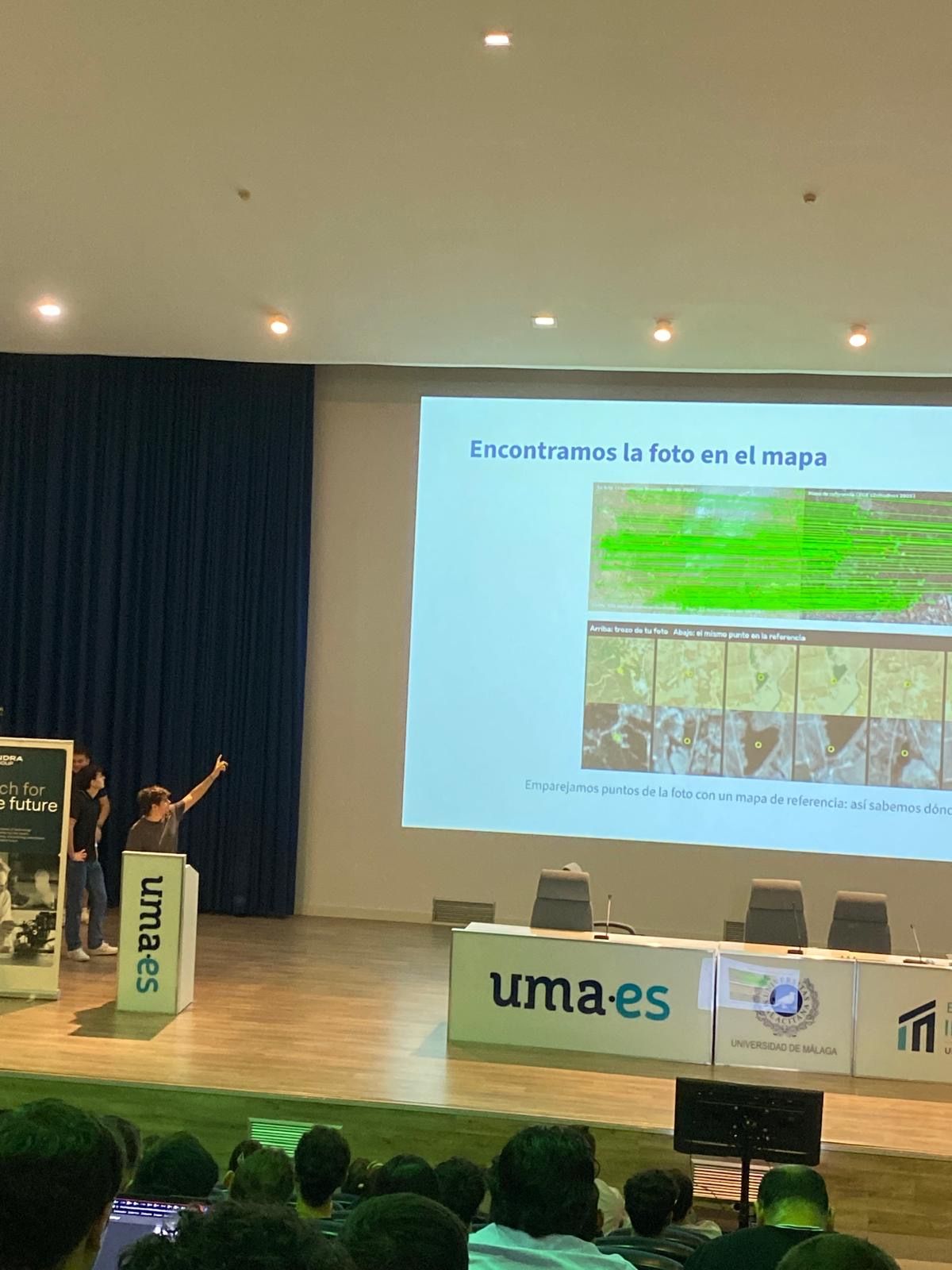
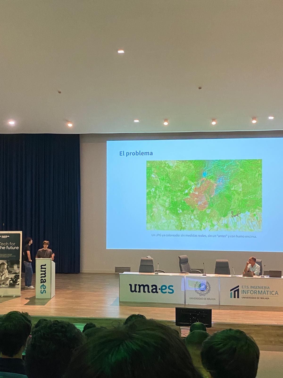
Indra's challenge came with an already-coloured JPG: no coordinates, no real measurements, no "before", and smoke on top of the fire. Most teams stopped at classifying that image. We matched its features against a reference map to find exactly where it was, then pulled raw Sentinel-2 bands from Copernicus for that area. Shortwave infrared sees through smoke, so we could measure the fire instead of guessing.
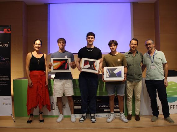
The result is a live report: hectares burnt, severity, active fire front, and the towns, roads and reservoirs inside the perimeter, checked against the official EFFIS data. Finalist at Malakathon.